Examples Using the Route Manager
All of these Plugins and more are included in our Yearly Membership plan
Author:
John Demo
Created: March 6, 2023 2:20 pm Updated: March 7, 2023 4:32 pm
Route type: Bike
Difficulty grade: 3) Hard
Distance
736 km
Duration
0 s
AVG speed
0.0 km/h
Min altitude
0 m
Peak
0 m
Climb
22150 m
Descent
22147 m
Copy the following HTML iframe code to your website:
Copy to clipboard
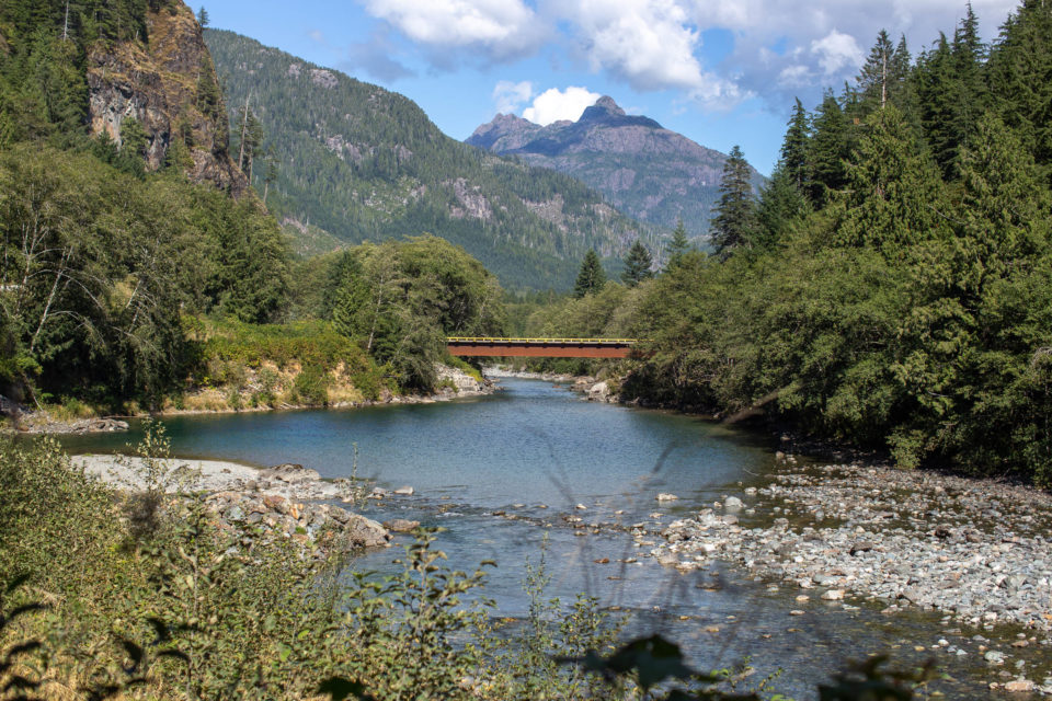
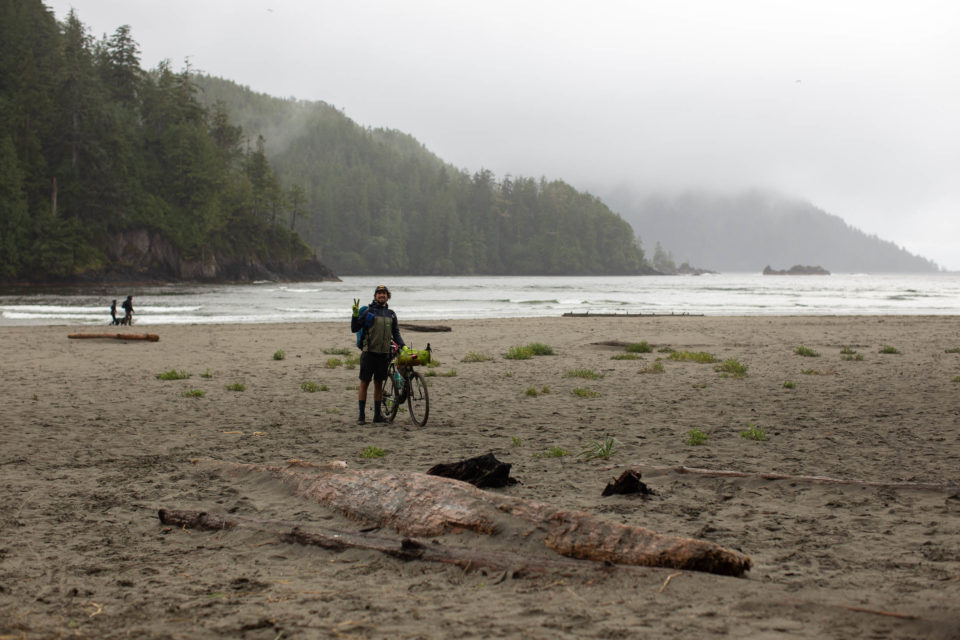
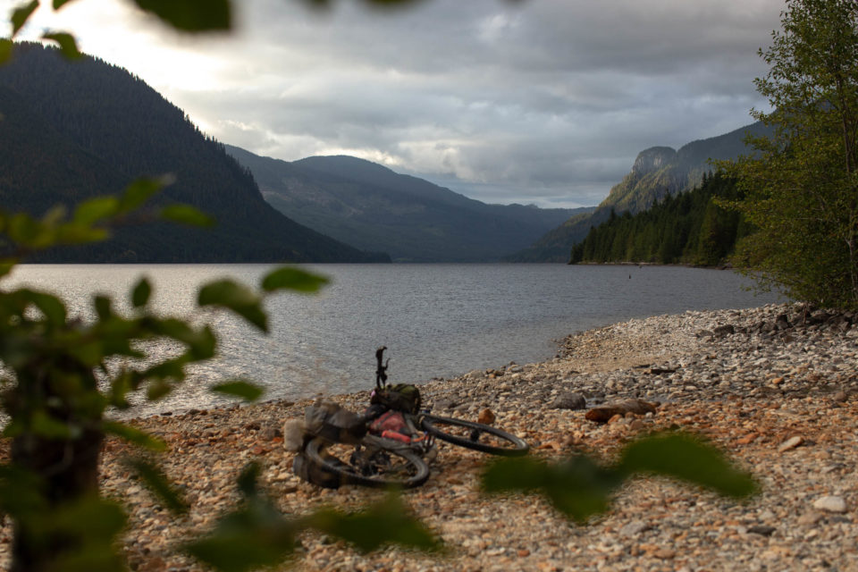
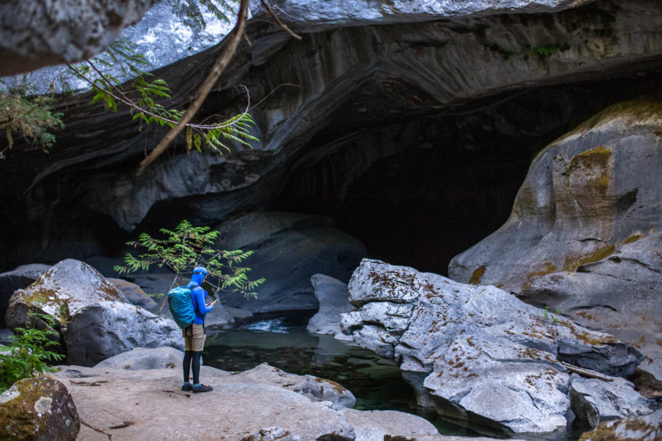
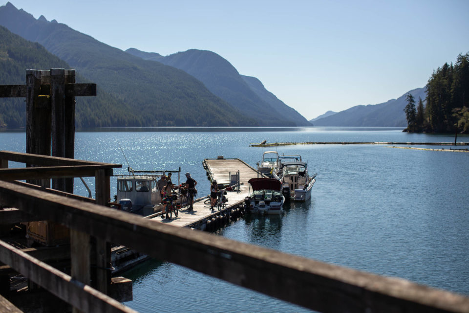
The Tree to Sea Loop is an incredible 1,000-kilometre gravel loop around the lesser-known areas on the north end of Vancouver Island, British Columbia. The route links massive valleys, oceanside villages, towering coastal mountains, and deep fjords via an impressive patchwork of forest service roads. Aside from some of the best gravel riding on the coast, there are opportunities for spelunking, whale watching, waterside camping, and much more...
The route is taken from https://bikepacking.com/
1. Uptown Cappuccino
Altitude: 112 m
2. World's Largest Burl
Altitude: 8 m
3. Fort Rupert General Store
Altitude: 4 m
4. Holberg Shoe Tree
Altitude: 315 m
5. No Bikes Allowed
Altitude: 15 m
6. Ronning's Garden
Altitude: 34 m
7. General Store
Altitude: 32 m
8. Coal Harbour
Altitude: 2 m
9. Sally's Grill
Altitude: 8 m
10. Moutcha Bay Resort
Altitude: 15 m
11. Gold River Marina
Altitude: 7 m
12. Telegraph Cove
Altitude: 10 m
13. Gas Station
Altitude: 116 m
14. Comox Ferry Terminal
Altitude: 3 m
15. Discovery Foods + Espresso Bar
Altitude: 10 m
16. Miracle Beach Provincial Park
Altitude: 4 m
17. Kitty Coleman Provincial Park
Altitude: 16 m
18. Swicked Cycles
Altitude: 10 m
19. Elk Bay Rec Site
Altitude: 6 m
20. Bere Point Campsite
Altitude: 13 m
22. Mugz 2.0 Coffee House
Altitude: 7 m
23. Tahsis Post Office
Altitude: 7 m
24. Windywaters Campground
Altitude: 76 m
25. Orchard Meadow Rec Site
Altitude: 181 m
26. City of Courtenay
Altitude: 22 m
27. Valhalla Pure Outfitters
Altitude: 11 m
28. River Sportsman
Altitude: 4 m
29. Timberland Sports Centre
Altitude: 11 m
30. Coho Jo
Altitude: 10 m
31. San Josef Heritage Campsite
Altitude: 12 m
32. Sayward Post Office
Altitude: 18 m
33. Port Alice Oceanfront RV Park
Altitude: 25 m
34. Holberg Post Office
Altitude: 27 m
35. Small lakeside camping spot
Altitude: 409 m
36. Campbell River
Altitude: 5 m
37. Ideal Cafe
Altitude: 6 m
38. Elk Falls Provincial Park
Altitude: 11 m
39. Stella Lake Rec Site
Altitude: 132 m
40. McCreight Lake Rec Site
Altitude: 65 m
41. Sayward Fisherboy RV Park / Resort
Altitude: 15 m
42. Eve River Rec Site
Altitude: 20 m
43. Naka Creek Waterfall
Altitude: 44 m
44. Ida Lake Recreation Site
Altitude: 269 m
45. Elk Creek Rec Site
Altitude: 18 m
46. Nahwitti Lake Rec Site
Altitude: 203 m
47. Link River Regional Park
Altitude: 67 m
48. Little Huson Caves
Altitude: 83 m
49. nimpkish creek rec site
Altitude: 56 m
50. Muchalat lake rec site
Altitude: 217 m
51. Boat Charter Required
Altitude: 0 m
52. Tahsis Supermarket
Altitude: 5 m
53. Leiner River Rec Site
Altitude: 33 m
54. Gold River Deli
Altitude: 100 m
55. Gold Muchalat Provincial Park
Altitude: 227 m
56. Wildwoods Campsite
Altitude: 9 m
57. Memekay Horse Camp
Altitude: 57 m
58. Crossroads Pub
Altitude: 16 m
59. Port Alice Family Foods
Altitude: 29 m
60. Brewster Lake Rec Site
Altitude: 199 m
61. Strathcona Park Lodge
Altitude: 242 m
62. Sayward Marine Gift Shop
Altitude: 8 m
63. Ferry to Malcom Island
Altitude: 0 m
64. Kin Beach Provincial Park
Altitude: 8 m
65. Sea & Field Bistro
Altitude: 77 m
66. Port Alice Post Office
Altitude: 26 m
67. Save on Foods
Altitude: 19 m
68. Cluxewe Resort
Altitude: 8 m
69. Cafe Guido & Co.
Altitude: 11 m
70. Cape Scott Provincial Park
Altitude: 1 m
71. Foggy Mountain Coffee Co.
Altitude: 21 m
72. Upper Campbell Reservoir Campground
Altitude: 232 m
73. Sayward Village Campground
Altitude: 13 m
74. General Store
Altitude: 5 m
75. Naka Creek Rec Site
Altitude: 14 m
76. Marble River Rec Site
Altitude: 59 m
77. Cevallos Campsite
Altitude: 5 m
78. Port Hardy Visitors Centre
Altitude: 7 m
79. Gas Station
Altitude: 17 m
80. Atluck Lake
Altitude: 132 m
81. Gold River Municipal Campground
Altitude: 58 m
82. Upana Caves
Altitude: 586 m
83. Junction Pool Rec Site
Altitude: 22 m
84. Woss Lake Provincial Park
Altitude: 153 m
85. Woss General Store
Altitude: 184 m
86. Bonanza South Rec Site
Altitude: 283 m
87. Devil's Bath Brewing Co.
Altitude: 11 m
88. Scarlet Ibis Pub / Restaurant
Altitude: 18 m