Examples Using the Route Manager
All of these Plugins and more are included in our Yearly Membership plan
- Created: March 6, 2023 1:26 pm
- Updated: March 7, 2023 4:34 pm
- Distance 11 km
- Duration 2 h 49 min
- AVG speed 4.0 km/h
- Min altitude 19 m
- Peak 35 m
- Climb 47 m
- Descent 53 m
- Distance Instructions


This lovely route follows National Cycle routes 12 and 51 and the Bedford to Sandy Country Way - an off road path perfect for walking or cycling. The ride is very flat with views of the Rivers Great Ouse and Ivel plus a spell through Priory Country Park the main highlights.
Also on the route is the National Trust owned Willington Dovecote & Stables - a Tudor stone-built stable, built for Henry VIII's 1541 visit.
The route is taken from http://www.gps-routes.co.uk/
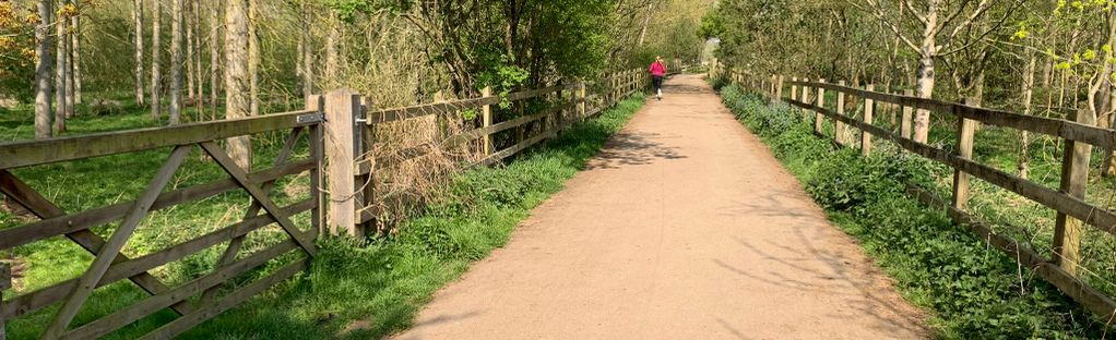
The image is taken from https://www.alltrails.com/trail/england/bedfordshire/bedford-to-sandy
This lovely route follows National Cycle routes 12 and 51 and the Bedford to Sandy Country Way – an off road path perfect for walking or cycling. The ride is very flat with views of the Rivers Great Ouse and Ivel plus a spell through Priory Country Park the main highlights.
Also on the route is the National Trust owned Willington Dovecote & Stables – a Tudor stone-built stable, built for Henry VIII’s 1541 visit.
The route is taken from http://www.gps-routes.co.uk/
The image is taken from https://www.alltrails.com/trail/england/bedfordshire/bedford-to-sandy